Whether it's embarking upon a brand-new construction project or considering meaningful improvements on a smaller scale, factual information about the structural nature of Clemson University's campus is essential to providing high quality work to our customers. Our GIS team gathers robust intelligence on almost any aspect of campus infrastructure including:
- Buildings
- Roads
- Pedestrian pathways
- Underground utilities
Check out our dedicated GIS Maps page for a list of publicly available webmaps and applications.
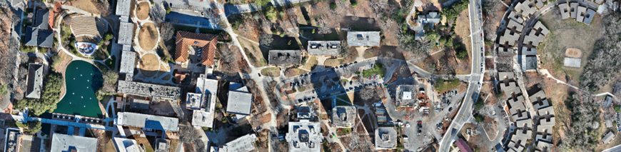
The University Facilities Map
Our public-facing map of Clemson's campus has many features including current names of buildings, roads and parking lots, Maintenance Service Zones, and aerial imagery spanning from within a year's time to composite photos of Clemson University from as early as 1938! New content is added regularly, and questions about a feature can be sent to our GIS Manager.